IEEE Research Paper · Co-Author
Harnessing Satellite Imagery with Convolutional Neural Networks for Poverty Prediction
2024 International Conference on Artificial Intelligence and Quantum Computation-Based Sensor Application (ICAIQSA) · December 2024
Ground-truth poverty data is expensive and slow to collect — it usually means door-to-door household surveys across regions that are often hard to reach. This paper asks a different question: can a computer look at a satellite photograph and estimate how poor an area is, without anyone ever setting foot there?
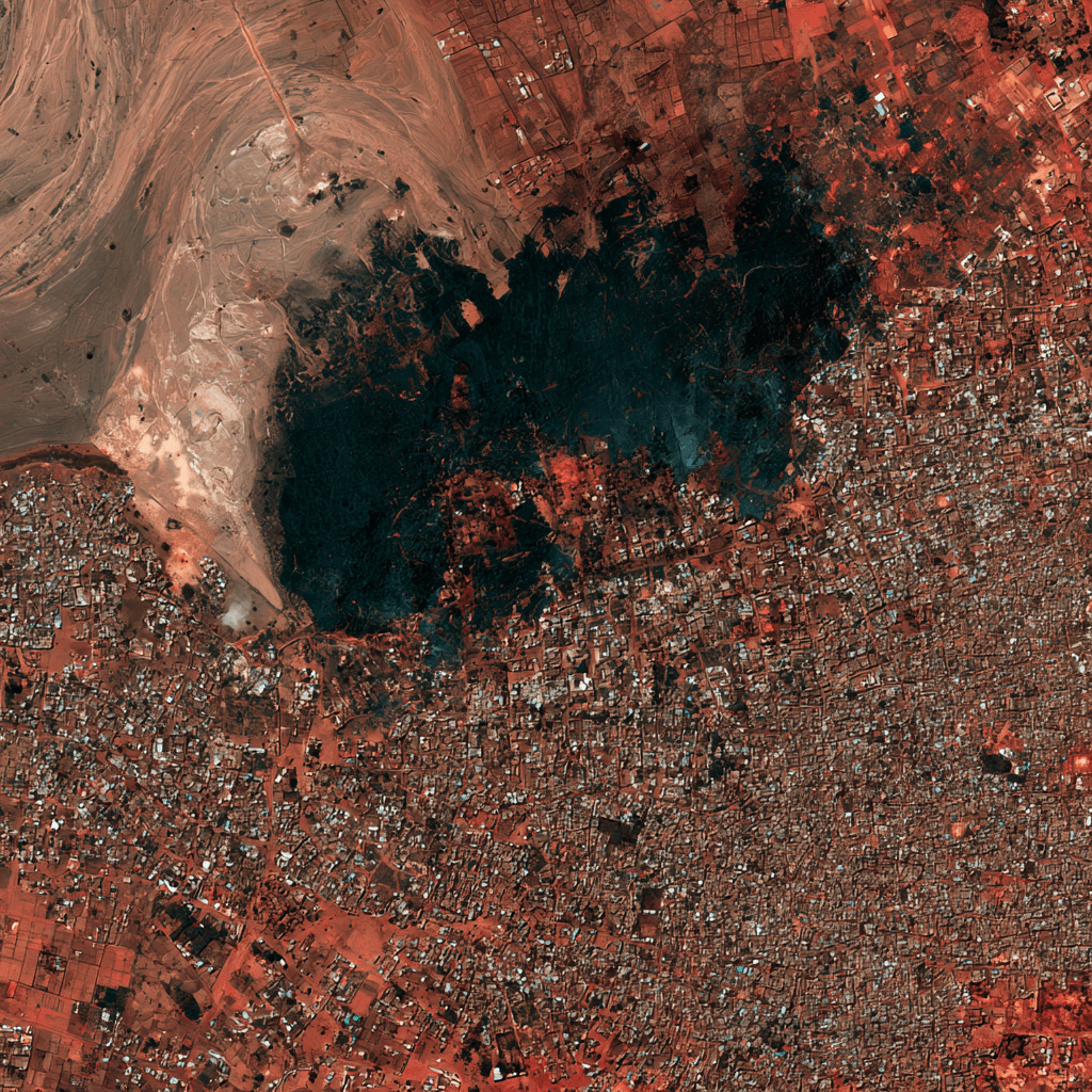
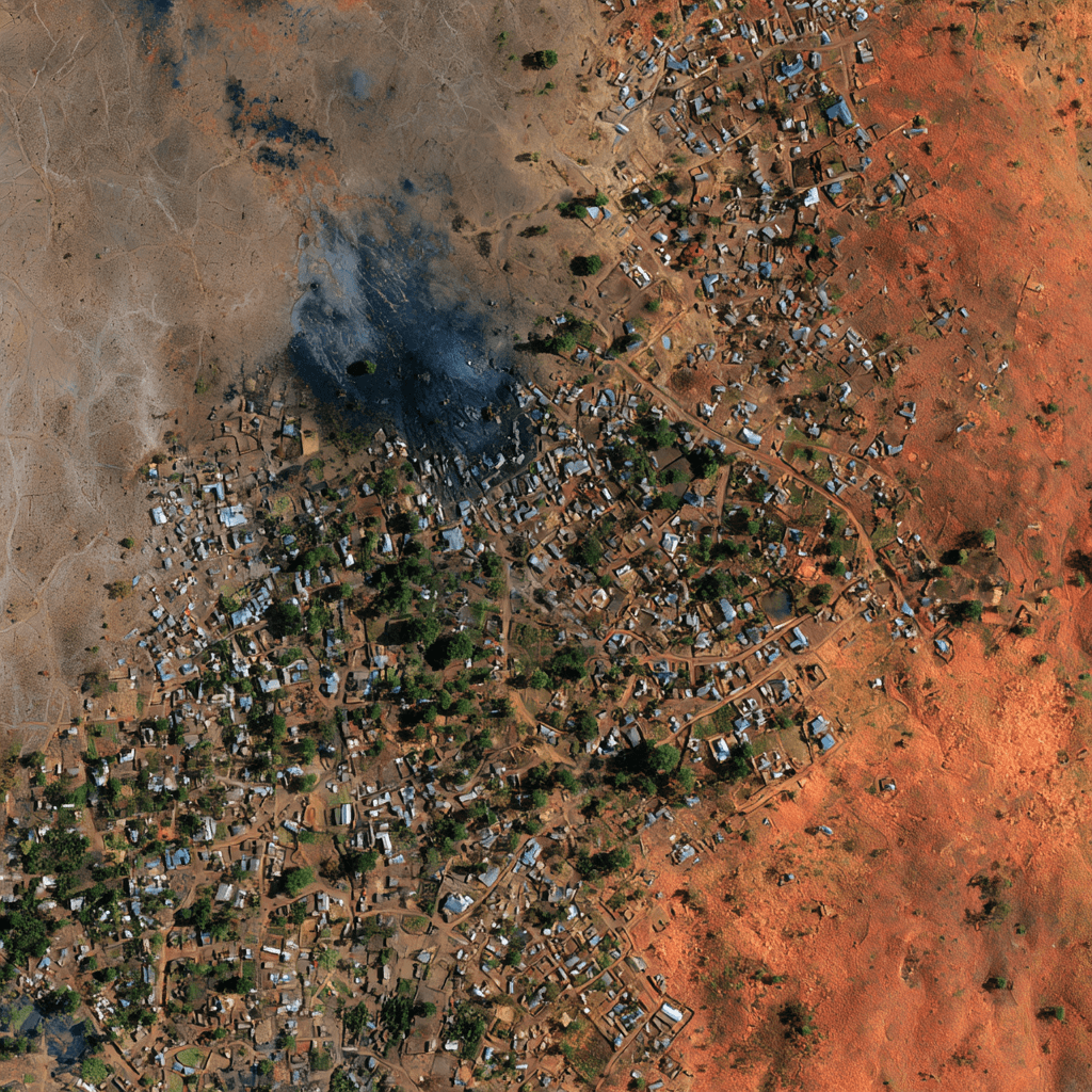
The approach uses a convolutional neural network (CNN) — the same class of model that powers modern image recognition — trained on satellite imagery of Africa. Rather than being told explicitly what to look for, the network learns on its own which visual patterns correlate with poverty: road density, the layout and materials of buildings, vegetation cover, and general land use.
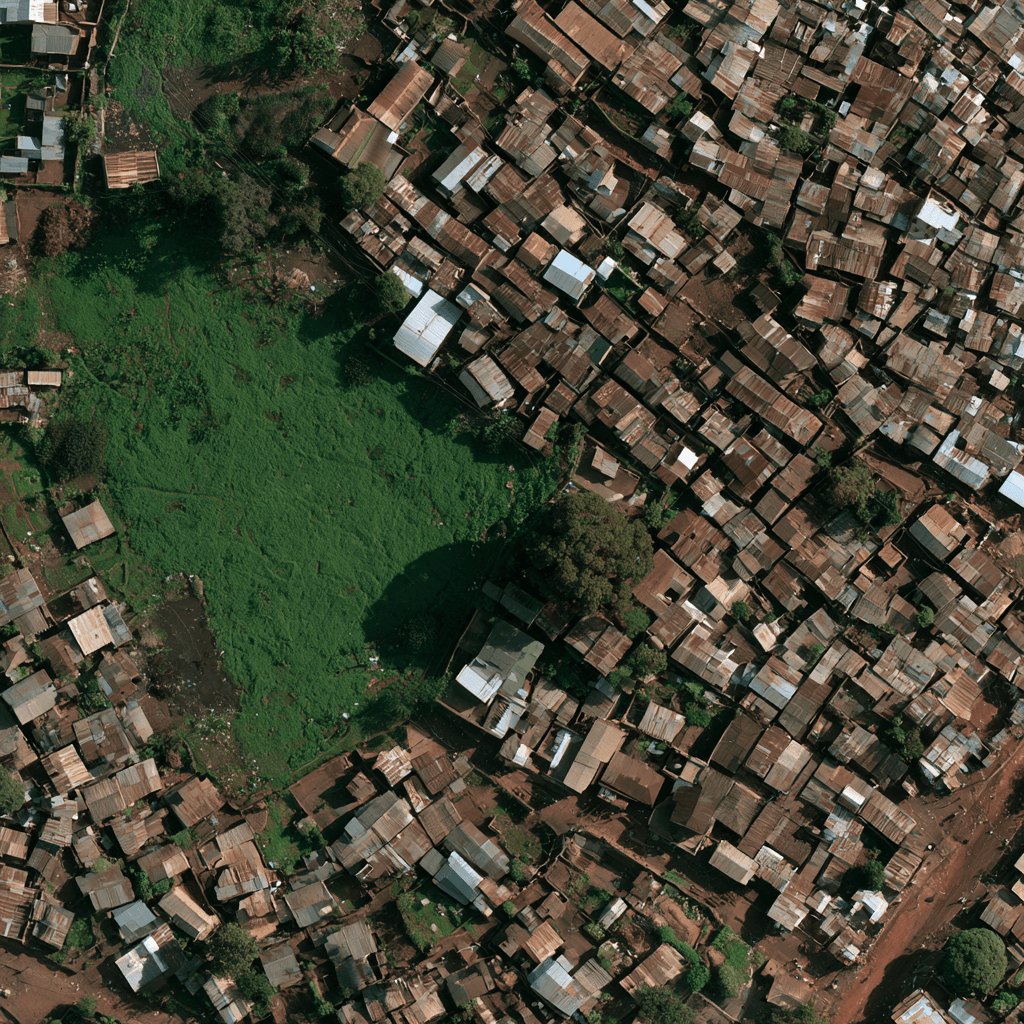
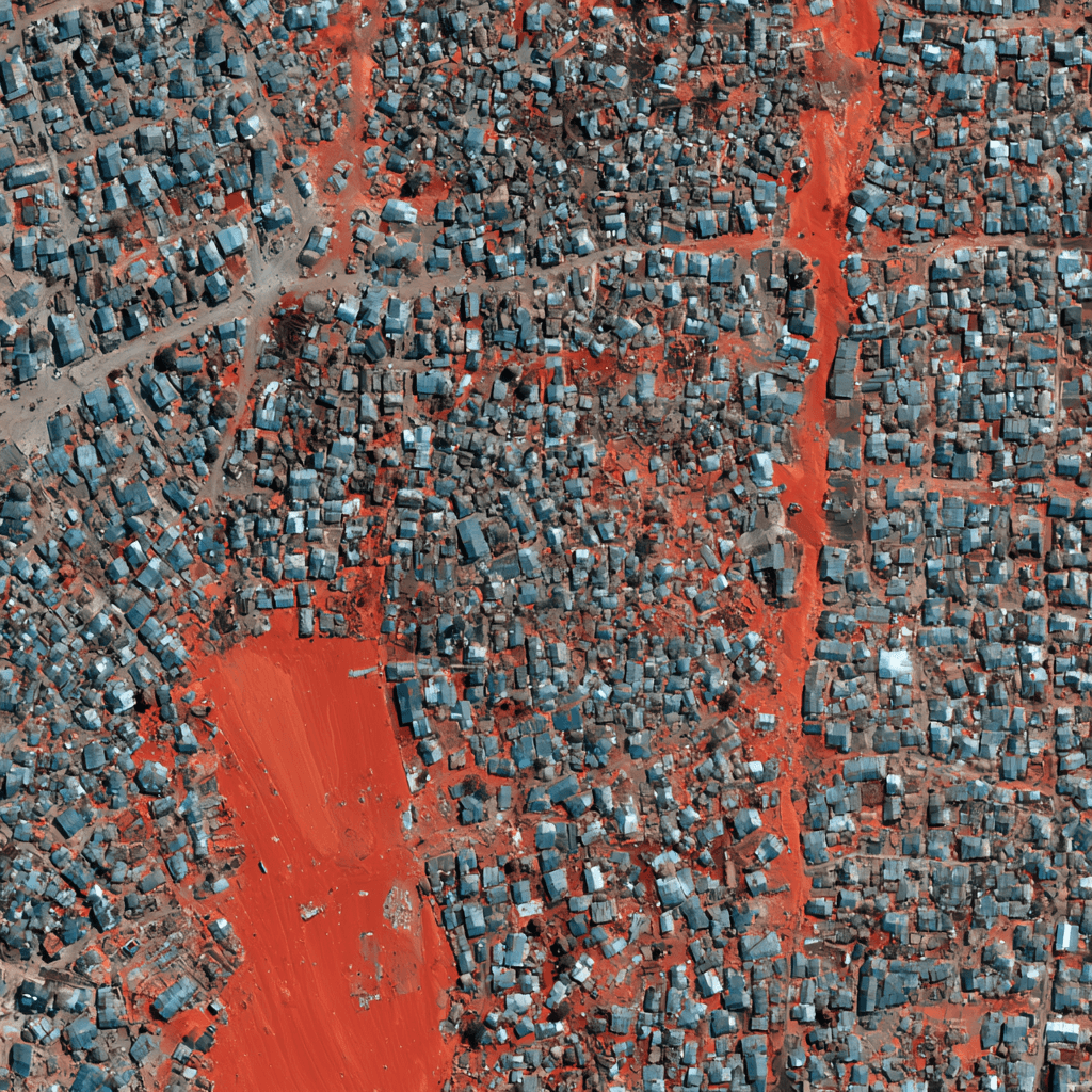
To make sure the model was actually learning something generalizable, the dataset was split 70% for training and 30% for testing. The model never saw the test images during training, so its performance on that held-out set is a fair measure of how well it would work on a brand-new region.
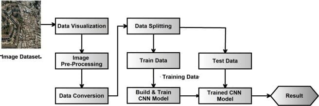
The final model reached 90% accuracy on the test set — a strong result for a problem this indirect, where the model has to infer an economic condition purely from visual texture and geometry.
The paper was co-authored, presented at the IEEE ICAIQSA conference, and published to IEEE Xplore.